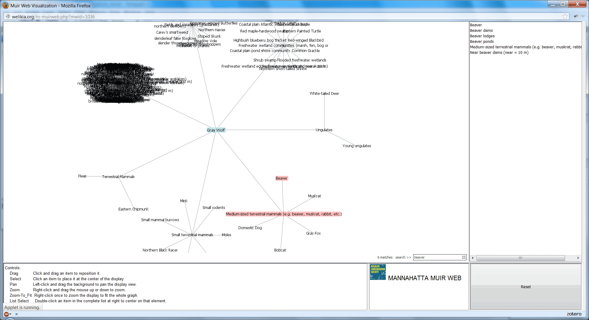
Database graph-based network analysis that predicts species and atrophic element distributions, consisting of a database, a web-based editing interface, and spatial analysis scripts. First generation in perl, AML, and MySQL; second generation in python, GDAL/numpy, and PostgreSQL. Additionally, I helped build an applet linked to from the Welikia web map to show species’ ecological relationships to other elements in the 1609 New York landscape:
https://welikia.org/m-muirweb.php (requires Java-capable browser) [github]
Things I do/did: Database design and construction; django admin-based editing interface; analysis scripts; initial visualization; implementation
Tools/tech involved: perl, MySQL, AML, python, GDAL, numpy, PostgreSQL, Java, Prefuse