Kim Fisher is a developer, geospatial analyst, and manager with sixteen years of conservation experience.
FEATURED PROJECTS
 Human Footprint / SCL analysis pipeline Geospatial analysis pipeline for producing new version of global Human Footprint and species habitat
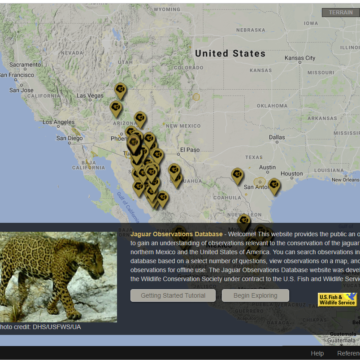 Jaguar observations database Map-based application for viewing observations of jaguars across the northern part of their range according to user-defined criteria for observation validity
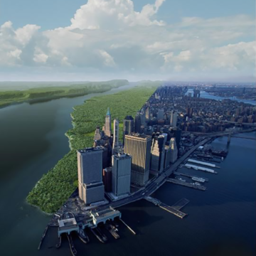 Mannahatta / Welikia Welikia is the extension of Mannahatta to all of New York City, where the the urban landscape is envisioned as it was 400 years ago
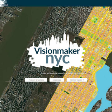 Visionmaker NYC Web application for developing ecologically sustainable visions of New York City via "ecosystem painting" tools