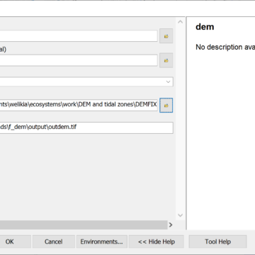
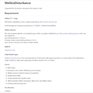
 Disturbance modeling Scripts for modeling the effects of fire, horticulture, and beaver ponds on 1609 NYC landscape over prior 200 years
 Environmental Kuznetz curve analysis Jupyter/ipywidget/plotly code to automate the production and exploration of GHG emissions and GDP data by country
 Extract rasters Saves out individual rasters from a source base raster, masked by a feature class of polygonal features
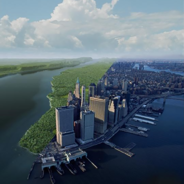 Mannahatta / Welikia Welikia is the extension of Mannahatta to all of New York City, where the the urban landscape is envisioned as it was 400 years ago
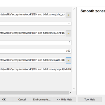 Smooth zones ArcGIS python tool created for Welikia that creates a continuous raster surface gradually interpolating between contiguous polygons
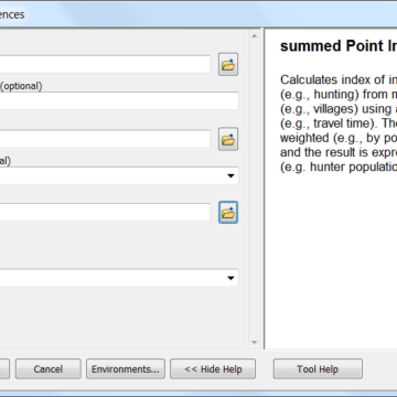 Summed Point Influences The summed Point Influence (SPI) tool estimates cumulative influence on an area from a set of geographic features
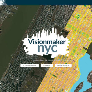 Visionmaker NYC Web application for developing ecologically sustainable visions of New York City via "ecosystem painting" tools