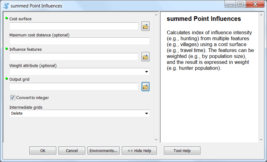
The Summed Point Influence (SPI) tool estimates cumulative influence on an area from a set of geographic features. It is meant as a simple, transparent, and widely applicable tool requiring a minimum of data inputs, GIS experience, or preprocessing. As such, it does not claim to model reality precisely for any particular application; more precise models will necessarily require more sophisticated tools and more detailed (and expensive!) input data. Nevertheless, our premise is that SPI offers useful results for a minimal investment. [github]
Things I do/did: Coded script
Tools/tech involved: Python, arcpy
