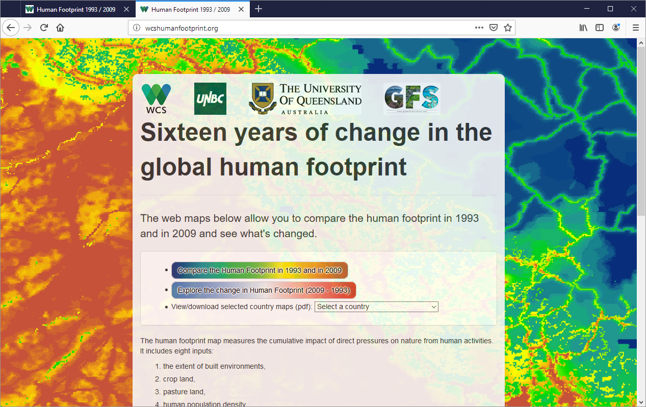
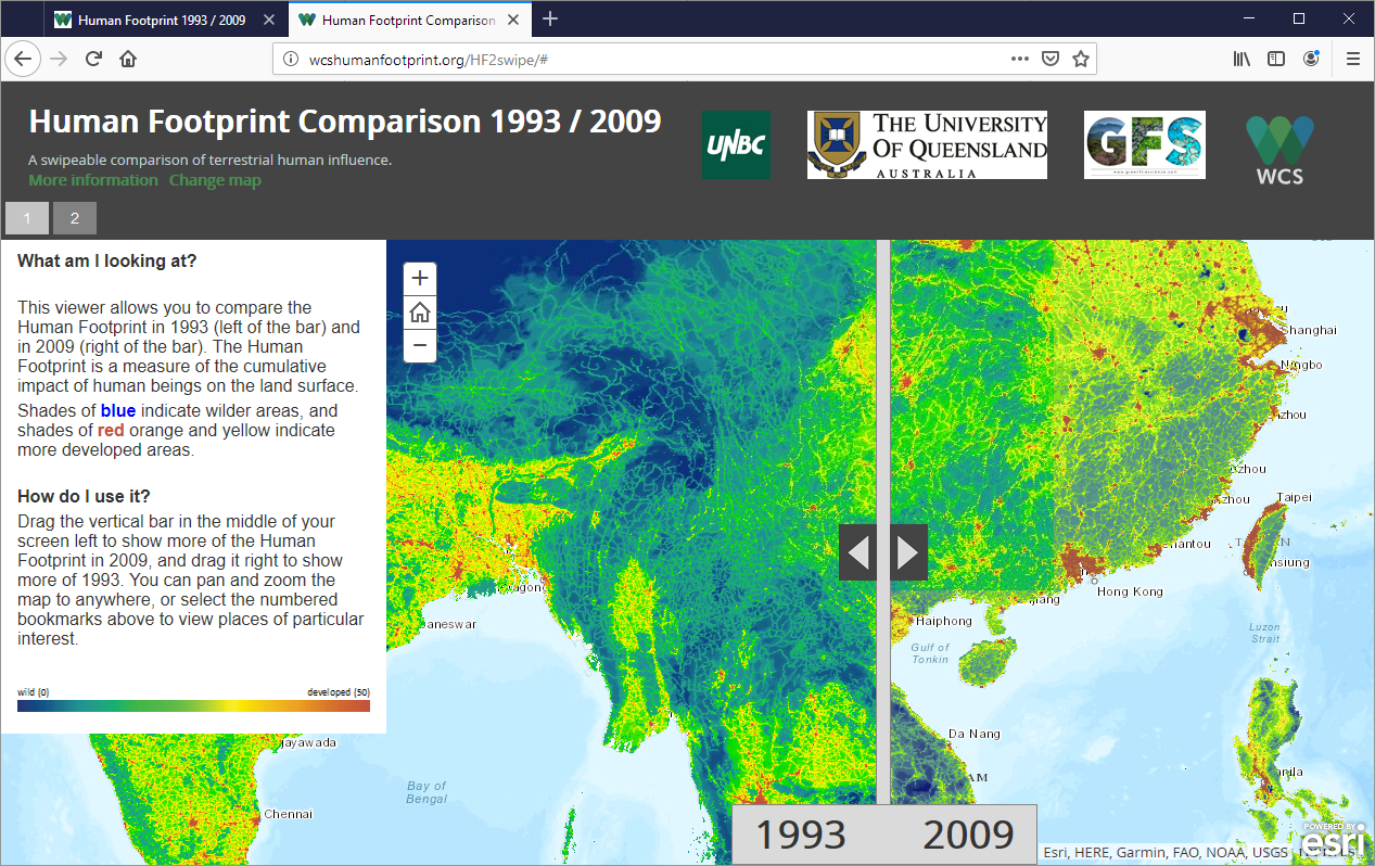
Website produced very rapidly showcasing WCS/UQ reanalysis of global human footprint, featuring two web maps based on customized esri “storymap” code and pdf summary maps and statistics for every country. http://wcshumanfootprint.org/
Things I do/did: ArcGIS atlas customization to produce summary statistics table as well as maps, website setup, ArcGIS Online raster ingestion and tile service setup, esri storymap code customization
Tools/tech involved: Python and arcpy, ArcGIS atlas, ArcGIS Online, esri storymap apps, ESRI js API


