Geospatial analysis pipeline for producing new version of global Human Footprint and species habitat
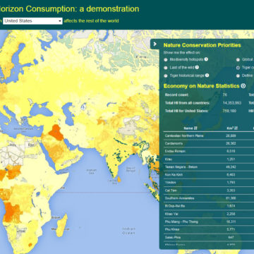
Web application allowing user to see a map of the impact of the consumption in one country on the rest of the world
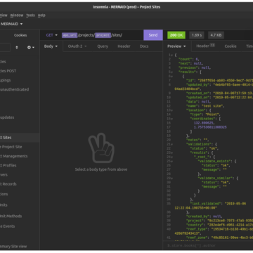
MERMAID APIs using Django REST Framework, Lambda and Zappa
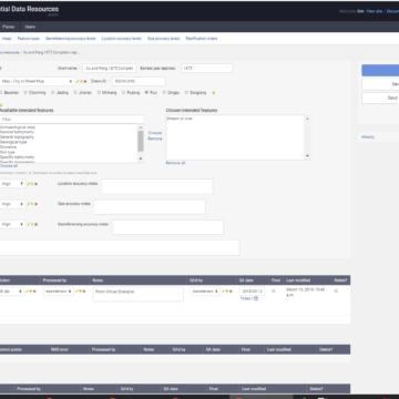
Database interface application for administering Spatial Database Resources (SDRs) and placenames
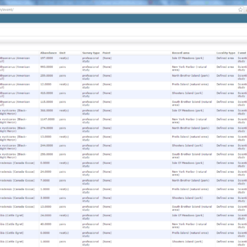
Customized Django admin application for updating comprehensive database of all NYC species observations
Database graph-based network analysis that predicts species and atrophic element distributions
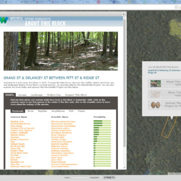
Web map for showing probable 1609 species and landscape features for any block
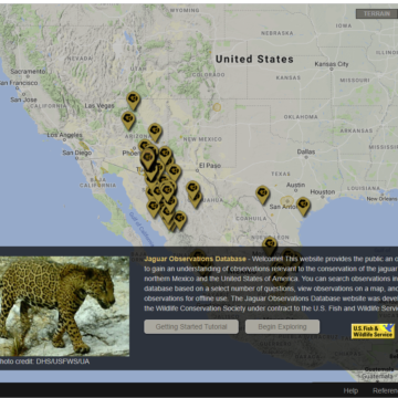
Map-based application for viewing observations of jaguars across the northern part of their range according to user-defined criteria for observation validity
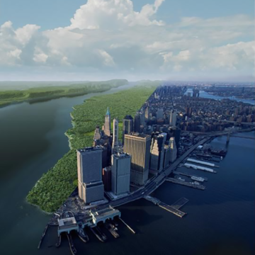
Welikia is the extension of Mannahatta to all of New York City, where the the urban landscape is envisioned as it was 400 years ago
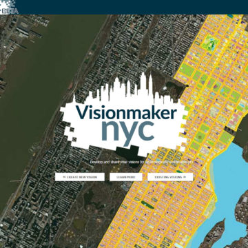
Web application for developing ecologically sustainable visions of New York City via “ecosystem painting” tools

